360° Perspective
City from every perspective
What is 360° Perspective?
In our daily work, we use advanced city imaging technologies that guarantee virtually unlimited analysis capabilities. 360° Perspective is a comprehensive service that includes solutions that enable effective data fusion, integration, deployment and management. The use of advanced city imaging technologies guarantees virtually unlimited opportunities for analysis.

The 360° digital world consists of:
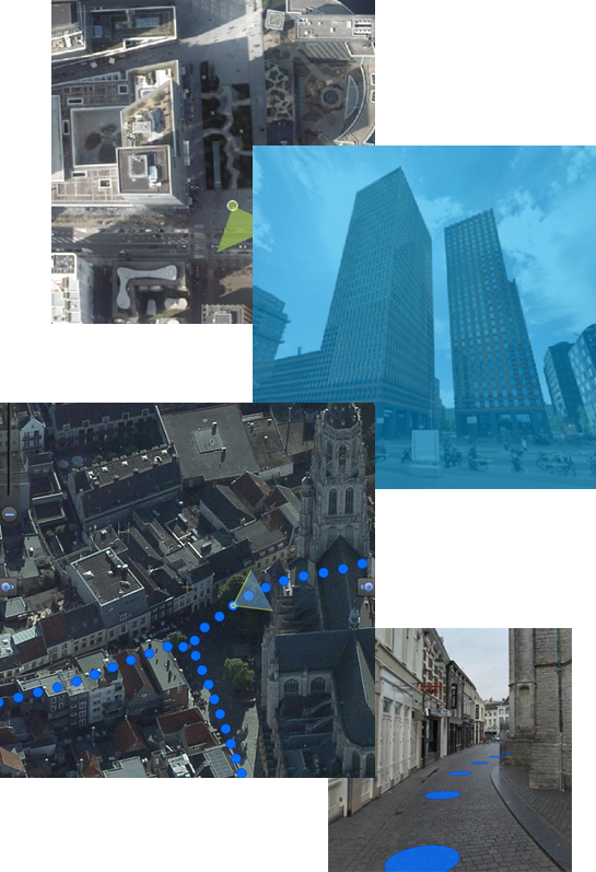
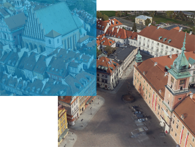
hybrid aerial acquisition i.e. acquisition and processing of vertical and oblique aerial imagery along with LiDAR data from the aerial ceiling,
mobile mapping i.e. acquisition of 360° panoramic images and LiDAR data from street level,
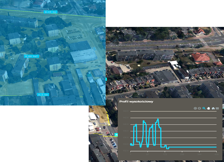
remote sensing analitics, which includes the use of satellite imagery, aerial photos, vector data and other spatial data to create finished products to meet customer needs,
SimplyGeo viewer providing unlimited access to 2D and 3D spatial additions.
Main target group
The 360° Perspective service is designed primarily for cities undergoing strong growth, where changes are occurring very quickly and those responsible for shaping urban architecture and urban planning must keep up with them quickly.

What differentiate us?
More than 30 years of experience in the processing of spatial data in almost every aspect – from its acquisition to processing to the finished product for the recipient.
At the same time, we have all the security measures for data processing, i.e., a Sensitive Compartmented Information Facility with SECRET, NATO SECRET and SECRET UE/EU SECRET clauses and implemented security procedures in accordance with ISO/IEC 27001:2013.

Technology used
As part of our comprehensive service, we utilize a fleet of our own aircraft and sensors, partnerships with Cyclomedia (in connection with mobile mapping) and Planet Labs (in connection with the acquisition of satellite imagery), and our own IT/opegieka department responsible for implementing SimplyGeo viewer at the client’s site. In addition, in the LAB/opegieka department, we develop dedicated products and remote sensing analysis according to the needs indicated by the client, using the best-fit technology.
Benefits
Analysis of the city from all perspectives, both ground, aerial and satellite.
Ability to carry out even the most demanding analysis.
Provide assistance to professionals whose work is related to the shaping of urban space.
Effectively connect, integrate and implement data into the client’s organization.
More about 360° perspective
See what products are included in the Perspective 360° suite:
Other products
For a more complete demonstration of our activities, we encourage you to take a look at our other products:

OPEGIEKA Sp. z o.o.
Aleja Tysiąclecia 11 82-300 Elbląg
tel. +48 (55) 237 60 00
fax +48 (55) 237 60 01
Facility in Warsaw
ul. Grzybowska 80/82 lok.
700 00-844 Warszawa
